4 Days, 5 Countries
Clicking on any photo will enlarge it, improving its quality.

12.08.2023 - 15.08.2023
On 10 August 2023 I got my hands on my first motorcycle. After just one ride, I felt the urge to take it on a tour. I'd been on tours before as a passenger, but being the one in control added a whole new level of excitement.
My dad and I planned our route and made sure we had everything we needed. Although my equipment wasn't perfect for my bike, it got the job done. The finer details, such as where to stay, were left open - decisions we preferred to make along the way.
Day 1
Start - Munich - Basilica Ettal - Plansee - Fernpass - Kappl
--> 337 km
Our first stop was the Ettal Basilica, where we stopped to eat and pick up some gifts for my mother. The beauty of the basilica is truly captivating and makes it well worth a visit.


We then had a photo stop at the Plansee lake.


The next destination is the Fernpass. From here you can see the Zugspitze.
At 2962m, Zugspitze is the highest peak in the Wetterstein Mountains and also Germany's highest mountain.


The last stop for the day was in Kappl, where our hotel was.The couple who run the hotel were bikers themselves and we had a nice chat with them about which pass we should ride the next day.
We also got the access card for the Silvretta-Hochalpenstraße.
We stayed at the "Haus am Lift" hotel. The interior was modern and cosy at the same time.
The breakfast was delicious and provided a satisfying start to our day. The cosy atmosphere and the quality of the breakfast contributed to the overall positive experience at the hotel.


Day 2
Kappl (Austria) - Lichtenstein - Switzerland - Italy (Algund)
--> 334.1 km
What a great start to the day. The sun greeted us and we knew it was going to be a day to remember.
After breakfast we set off for the Silvretta High Alpine Road (Silvretta-Hochalpenstraße).
The toll road spans 22.3 kilometres from Partenen in Montafon (1,051 m) to Galtür (1,584 m) in the Paznaun Valley, winding through 34 hairpin bends over the Bielerhöhe at 2,032 m.


From there we drove through Liechtenstein and Switzerland to the Flüelapass.


The Flüelapass is 27 kilometres long and peaks at an altitude of 2383 metres above sea level.
It connects the Flüelatal with the Unterengadin.


(Tap to increase size↑)

On the way to the Umbrail Pass.


The Umbrail Pass is 33 kilometres long and peaks at an altitude of 2503 metres above sea level, making it the highest mountain pass road in Switzerland.
It is the link between Santa Maria and Bormio and from here it is also possible to reach the Passo Stelvio.


„Königin der Alpenpässe“
Passo Stelvio - Stilfserjoch is 46 kilometres long and peaks at an altitude of 2757 metres above sea level, making it the highest mountain pass road in Italy.
With its 48 hairpin bends on the South Tyrolean side, this road is considered one of the most impressive in the world.
We were lucky that Passo Stelvio and Umbrail weren't busy when we arrived.


We reached Algund at around 9.30 pm, where we spent the night in the Hotel Oberangerhof.
We went in search of a restaurant that was still open. At Schnalshuber they kindly made us a snack platter, even though the kitchen was already closed.


Day 3
Algund (Italy) - Wenns (Austria)
--> 183,5 km


Our first stop of the day was the Jaufenpass, which is 31 kilometres long and peaks at 2094 metres above sea level.
It is the shortest link between Meran and Sterzing.

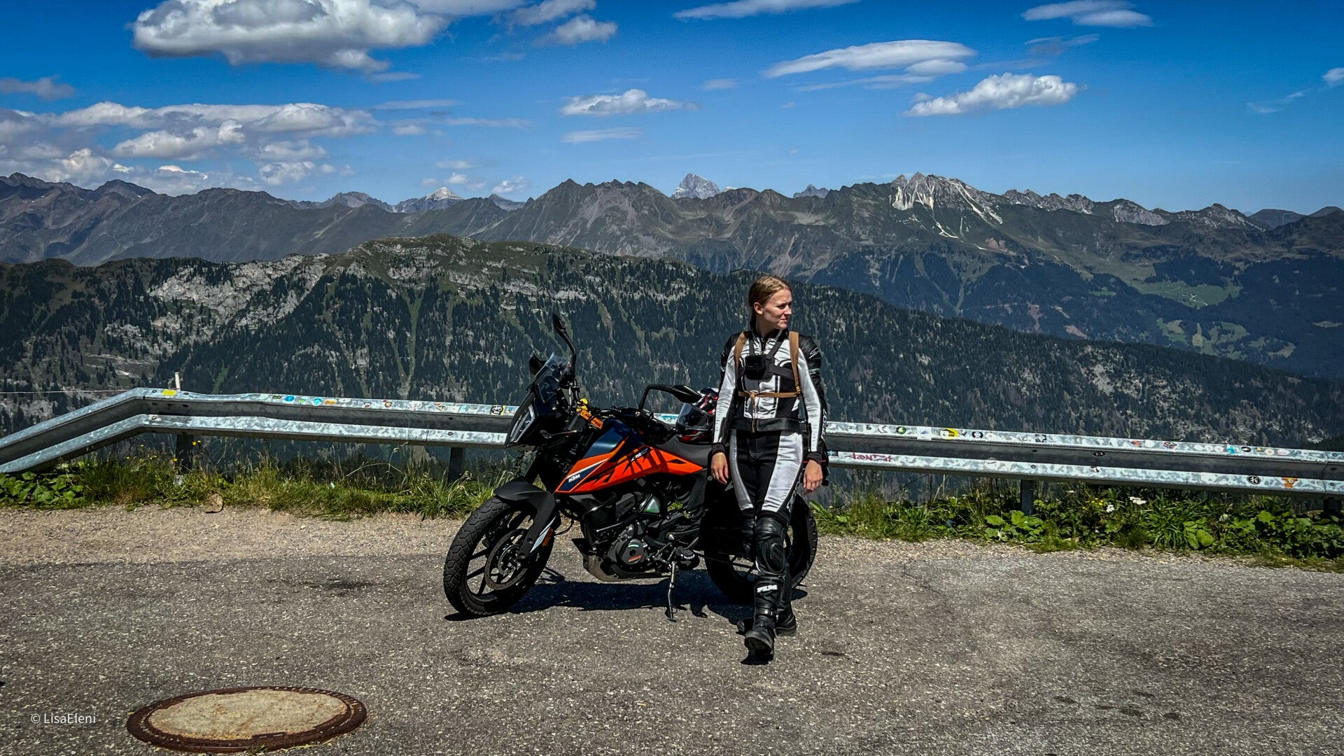

Afterwards we drove to the Timmelsjoch. It is 34,6 kilometres long and peaks at an altitude of 2474 metres above sea level.
I have a lot of nostalgia for the Timmelsjoch, because we used to take this route when I was a child. A lot of things look different now.


From the Timmelsjoch we drove to Wenns, where our hotel was located.
In the distance, we could see a thunderstorm. For me it‘s one of the most amazing things to watch.


Day 4
Wenn’s (Austria) - Home (Germany)
--> 321 km
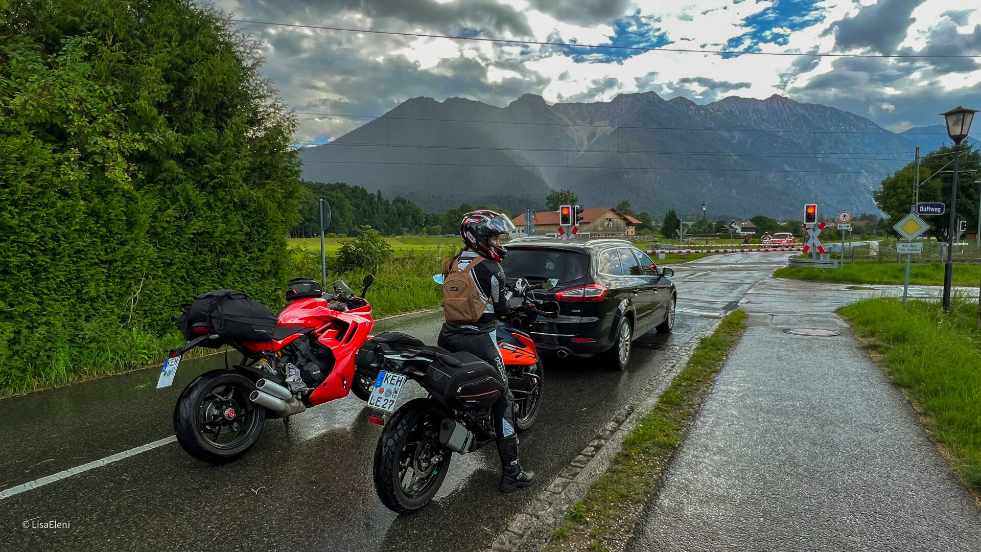
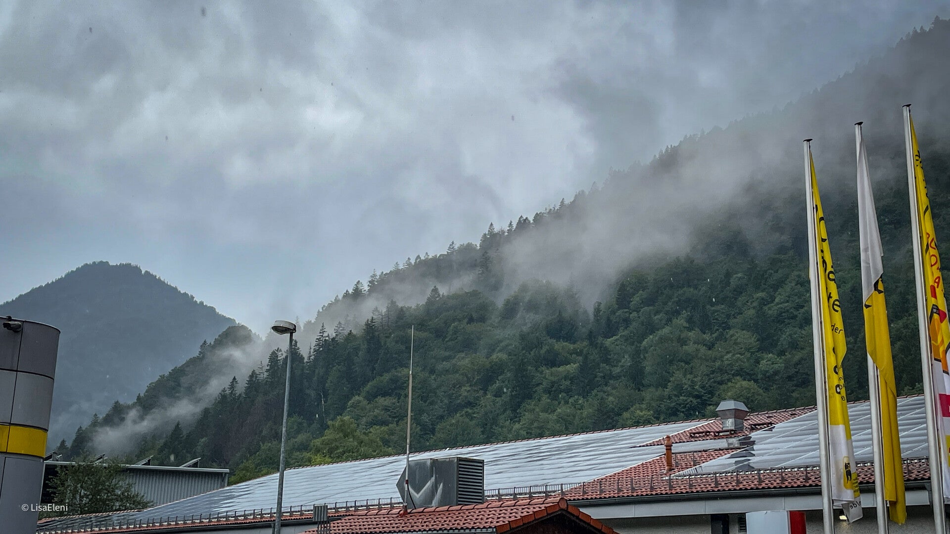
On the last day, we took some small roads to the Flexenpass and then to the Arlbergpass. From there we drove straight into the rain...


Albergpass is 14 kilometres long and peaks at 1793 meters above sea level.
From there you get to the Flexenpass, which 31,3 kilometres long and peaks at 1773 metres above sea level.
The Albergpass isn't one I need to revisit, but the Flexenpass with its windows in the tunnel was beautiful.


Create Your Own Website With Webador